As I write this, we’re camped at Bay View State Park near Mt. Vernon, Washington. However, we’ve spent the last four days at Widbey Island Naval Air Station on Whidbey Island in Washington State’s Puget Sound. While on Widbey Island, we kept getting “roaming” signals on our internet router, plus I got a text from Verizon that said “Welcome to Canada,” so I didn’t post anything for fear of incurring a large number of loonies. However, my mom asked me why I haven’t posted for a while, so it’s time I did.
Jim thought Cliffside, the Widbey Island Naval Air Station campground, was the nicest RV park we’ve stayed in. I’d agree, at least when it comes to private or military RV places. This RV park is brand new and every spot has a view of the Puget Sound.
Widbey Island is 30 miles northwest of Seattle. It’s the largest island in the Puget Sound and the fourth largest island in the lower 48. The naval base takes up most of the northern portion of the island and is definitely the nosiest of the military bases we’ve stayed at -- the fighter jets really roar out over the Sound. But this is, after all, a Navy Air Base.
While staying at the base, we strolled through the Widbey Island towns of Oak Harbor and Coupeville; toured nearby Fidalgo Island’s Anacortes, and took the ferry to Friday Harbor on San Juan Island. Then this morning we left the base and made a short (30 mile) trip to Bay View State Park.
 |
We haven't let him drive yet, but apparently Cooper wants
to. Not pictured here are the navy decals we got for the
front windshields of both the rig and our tow car. The
policy on getting your car on base has been different
at every military installation; we’re hoping having actual
decals will help. To get them we just had to go into the
base visitor’s center with Jim’s driver’s license, military
ID, and the registration ad proof of insurance for both
vehicles.
 |
Our camping spot at Widbey Island Naval Air Station.
After a two year remodel, the campground reopened
this June and everything is brand spanking new.
 |
Ken, an Army veteran and our camp host. Jim and I
think we’d like to do camp hosting in another year
or two; you get a free camping spot and sometimes
a small hourly wage.
 |
Driftwood sign at the camp.
 |
Don’t leave your sandals on the beach or they’ll
end up in this campsite display.
 |
Bev on a cool, misty day at the campground beach.
 |
Jim near a campground walking path we took several
times. RVs to the left; Puget Sound to the right.
 |
To drive to Whidbey Island (you can also take a ferry)
you cross 'Deception Pass' via this bridge. The pass
was so named because when Captain George
Vancouver explored this area in 1792, he thought
the pass deceived him into thinking Whibey Island
was a peninsula.
 |
Sunset over the campground. We're looking straight
at Canada in this photo.
 |
We had lunch at a great restaurant in Anacortes
called “Adrift” where we sat at the counter and
watched the cooks. Jim recommends the crab
cakes.
 |
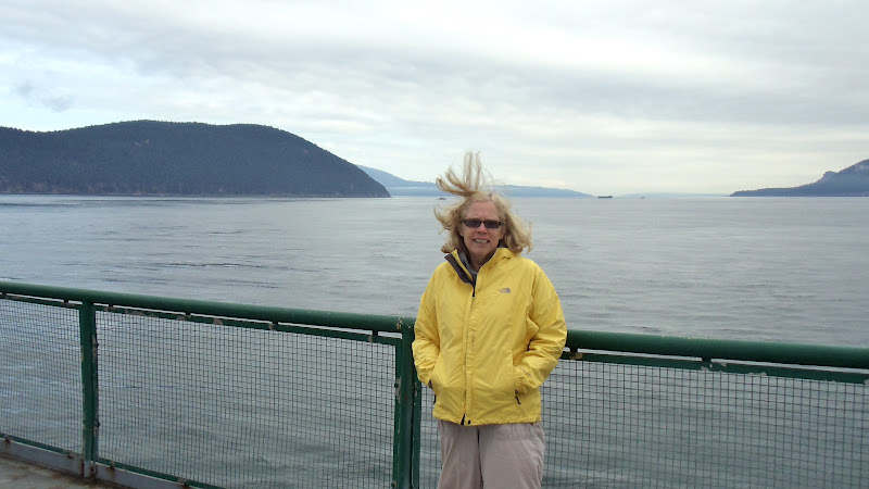
Bev getting a new hairdo on the ferry to Friday
Harbor on San Juan Island. The ferries can take
up to 2000 walk on passengers (that's what we
did; we just left our car in a parking lot) and 200
vehicles.
A view from our ferry of two others, with
Washington's Mt. Baker in the background.
Jim took this with his iPhone.
 |
Jim on the ferry to San Juan Island. We tried to
take the ferry on Sunday, but the one we wanted
was sold out. So we went on Monday and the
ferry was pretty empty.
Approaching Friday Harbor, the largest city
on San Juan Island. The entire group of islands
is called the San Juans and the largest of the
islands has that name as well. 172 islands
make up the San Juans. Eight of them are
fairly large and four have ferry service. There
are no bridges so all travel to the mainland is
by ferry, boat or plane.

The ferry (to the right) as seen from
Friday Harbor on San Juan Island. |
|
|
|
|
|
|
|
|
|
|
|
|
|


No comments:
Post a Comment